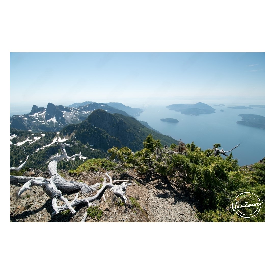
We have to admit it – the mountains surrounding Vancouver give the city a fine finish. All you need to do is to look out into the waters at False Creek and gaze further out to see the North Shore Mountains standing like the tall guardians they are.
If you love hiking, adore nature even more, or wonder where to go on a weekend getaway (weekend getaway vancouver), you can get a tip or two about these majestic mountains right here!
What is considered the “North Shore” in BC?
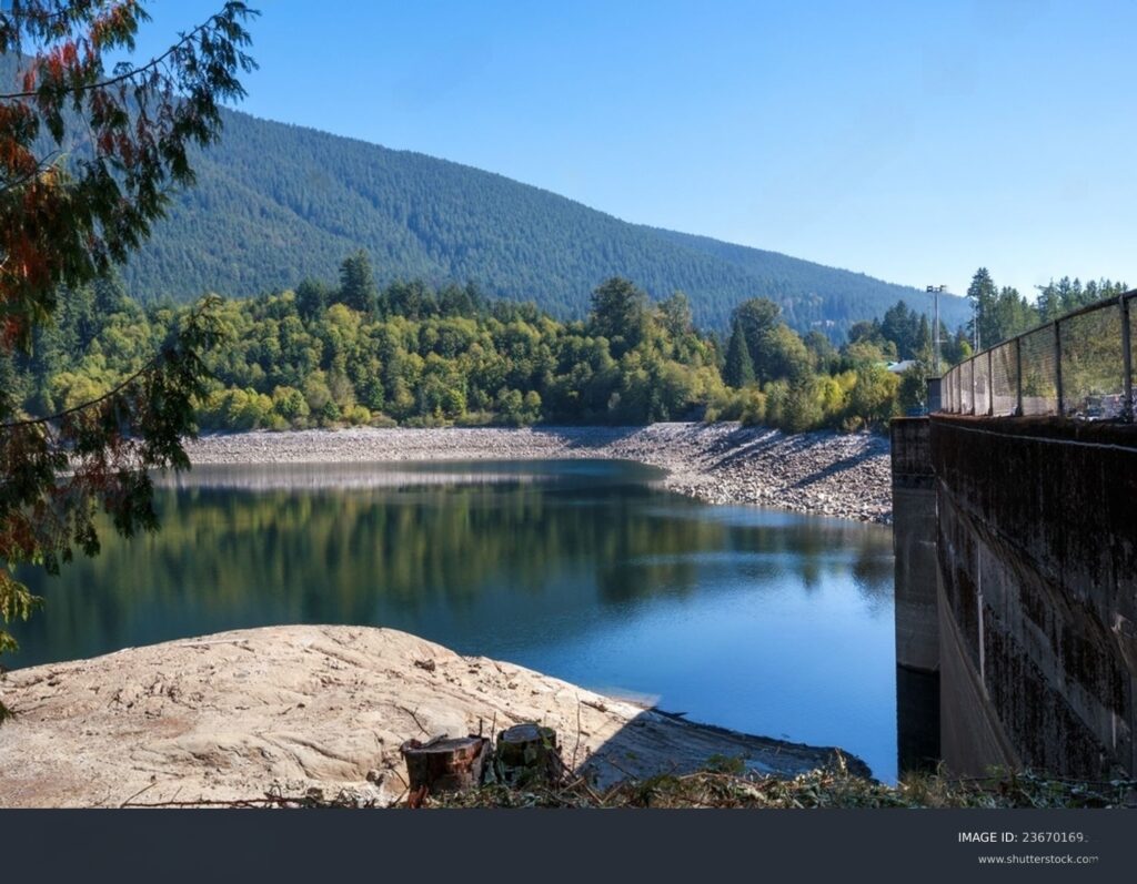
The North Shore refers to the northern suburban areas located across the Burrard Inlet from downtown Vancouver. It comprises the districts of West Vancouver and North Vancouver, and the city of North Vancouver.
These areas together form what we call the North Shore, and they’re a bit different from the busy city vibes of Vancouver. They exude a laid-back suburban charm, with neighborhoods that are tight-knit and committed to keeping things natural.
Geography-wise, the North Shore sits right by the Burrard Inlet, a natural border separating the region from downtown. From this location, you can enjoy awesome views of the city.
To the west of the North Shore lies the waters of the Strait of Georgia, which separates Vancouver Island from the mainland. Additionally, to the north and east, the North Shore is bordered by various smaller water bodies, including Indian Arm.
On top of that, the North Shore enjoys a dramatic backdrop of majestic mountains as it stretches from Horseshoe Bay to Deep Cove.
Because of its location and the lush forests in this region, the North Shore is not only home to a diverse range of plants and animals, it’s also a gateway to world-class outdoor recreational opportunities.
Hiking is a big deal here, with trails crisscrossing through lush forests and up those impressive peaks. You can also do water sports here and unwind through forest bathing.
How were the North Shore Mountains formed?
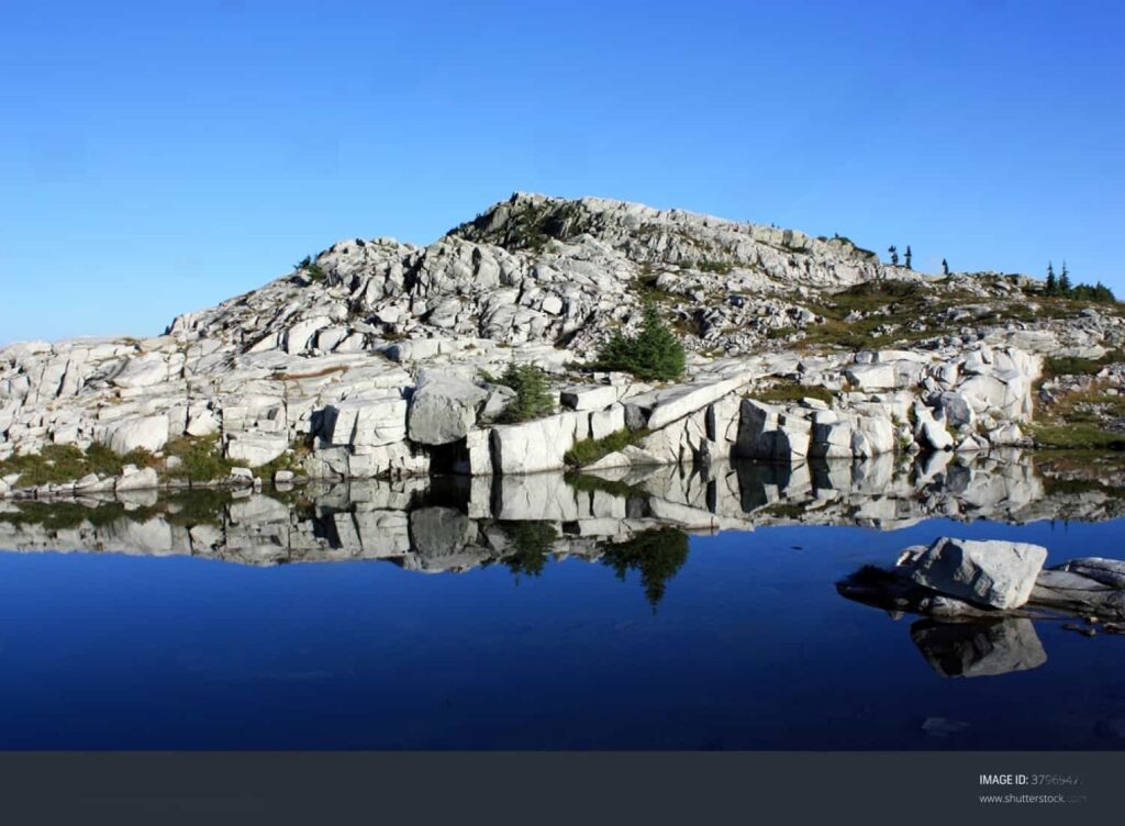
Over 90 million years ago, the North Shore Mountains started taking shape, and it all began with a massive rock called a granite batholith.
With the Juan de Fuca and North American plates colliding, the granite rock went through some serious changes. And as time passed, it solidified, becoming the heart of the North Shore mountains.
The Earth’s plates kept moving, and the granite rock faced more pressure and bending, naturally sculpting the North Shore mountains.
During the ice age, big glaciers moved through the North Shore, adding the final touches. They carved valleys and left behind fjords, contributing to the stunning scenery we now call the North Shore Mountains.
North Shore Mountains
Black Mountain
Location: 9QVJ+QH West Vancouver, British Columbia, Canada
Overlooking Horseshoe Bay, the Black Mountain is the mountain you see further west from the city. It’s a short 30 to 45-minute drive north of Vancouver, so it’s one of the familiar mountains to locals and hiking enthusiasts.
To reach this mountain, take Cypress Bowl Road after driving north on Highway 99, leading you to the Cypress Mountain ski area, where the adventure begins.
There’s a 6 kilometre return hike from the Cypress Mountain Ski Resort that can be completed in 2.5 hours. It follows the Baden Powell Trail and involves a good exploration of the Cypress Provincial Park.
With an elevation gain of 360 metres, this moderately challenging trail can be an ideal escape for both locals and tourists looking to immerse themselves in nature without venturing too far from the city.
At the summit of Black Mountain, you’ll get a stunning panoramic view, showcasing not only the surrounding mountains but also the city of Vancouver itself.
For the best experience, plan your visit from June to September when the trail is snow-free, and nature is in full bloom.
Pro tip: Start your hike early in the day to catch the morning light at the summit of Black Mountain. The sunrise view from this vantage point is truly spectacular and you’ll enjoy a quieter trail sans the midday heat.
A light picnic breakfast might also be a nice touch to your early morning hike.
Hollyburn Mountain
Location: Bowen Island, British Columbia V0N 1G0, Canada
Hollyburn Mountain is a winter wonder for those seeking a snowy escape near Vancouver. Best explored from December to March, this mountain is just a short drive north on Highway 1, following Cypress Bowl Road to Cypress Mountain ski area.
Hollyburn Mountain is a snowy paradise, with well-kept trails spanning about 7 kilometres – a dream come true for snowshoeing and cross-country skiing enthusiasts.
The snowy paths wind through enchanting forests, offering a magical winter experience that’s both accessible and charming.
What makes Hollyburn Mountain extra special is the breathtaking views from the top. Once you reach the summit, you’re treated to stunning vistas of the surrounding mountains, even as far out as Mount Baker in Washington State.
Pro tip: The trail up to the mountaintop is free. Just make sure to bring your own snowshoes or microspikes.
Mount Strachan
Location: CR74+6M West Vancouver, British Columbia, Canada
Mount Strachan is a fantastic spot for hikers who enjoy a bit more challenge. As it takes you through different landscapes, from thick forests to rocky slopes, this trail can give you more challenge than Black Mountain and Hollyburn.
Best explored during the warmer months from June to September, this mountain offers a challenging trail of about 10.5 kilometers, and 550 metre elevation gain.
To start your mountain adventure, head towards the same Cypress Mountain ski area. Mount Strachan is connected to Hollyburn Mountain through a ridge, and they share a starting point.
If you’re up for a longer, more intense adventure, you can go big and tackle both peaks in one hike.
If you’re up for winter hiking, hop on the ski-lift to reach the South Peak. But in the summer, there’s this awesome trail sneaking through Christmas Gully around the back of the mountain and leading to the North Peak.
Pro tip: As Mount Strachan is a bit more challenging, make sure to bring enough water and snacks for the hike.
St Mark’s Summit
Location: CQHV+6H West Vancouver, British Columbia, Canada
St Mark’s Summit is like the first stop on the Howe Sound Crest Trail. From Vancouver, this mountain may be hidden from view, but catching a ferry from Horseshoe Bay gives you a cool view of it – something you won’t get on land.
It’s a different story if you love hiking. St Mark’s Summit is a great pick for hikers, especially if you’re just starting out – thanks to a well-maintained pathway extending from the Cypress Mountain Lodge.
Yes, that means your route on the road should still lead to the same Cypress Mountain ski area.
The pathway from Cypress Mountain Lodge provides a clear route, making it perfect for those who want a bit of a challenge without dealing with tricky trails.
The return trail to St Mark’s Summit covers about 11 kilometers, leading you through forests and meadows. Expect to hike a bit longer here than on some of its mountain pals like Black Mountain and Hollyburn.
Now, you’ll get to the real show stopper when you get to the top. The views of Howe Sound and the coastal mountains are something else.
For the best experience, plan your visit when the weather is warmer, and the trail is snow-free. The months from July to October are usually the best time to go.
Pro tip: Pack snacks and water for the hike, and consider starting early to catch stunning morning views.
The Lions (Two Sisters)
Location: FR57+4C Lions Bay, British Columbia, Canada
The Lions, also known as Two Sisters, have two cool stories from the 1880s and all the way back.
The first story is, BC Supreme Court Justice John Hamilton Gray called them “The Lions” because he thought they looked like a pair of big cats at rest.
The second is a Squamish tale that adds an extra layer of meaning to these mountains. The legend says the mountains are the two daughters of a chief who played a big part in making peace between the Squamish and another tribe.
The Great Spirit turned them into mountains, which the Squamish called “twins” or in their language, Ch’ich’iyúy. That’s why the Lions or Twin Sisters aren’t just cool peaks – they also represent culture and the spirit of peace that lasts.
For those up for a challenge, the hike to The Lions happens during the warmer months, usually from June to September.
The trek covers about 16 kilometers of steep and tough terrain, taking you through forests, rocky ridges, and meadows with different landscapes along the way.
Imagine an elevation gain of 1500 metres with the highest point at 1654 metres. If you’re fast hiker, you might need around 5 hours – others have recorded finishing it in 9 hours, and understandably so.
Pro tip: Climbing East Lion is not advisable, but even West Lion is best suited for experienced hikers. Before you head out, check trail conditions and weather forecasts for a safe journey to these iconic Twin Sisters.
Dam Mountain
Location: 9WV9+JG North Vancouver, British Columbia, Canada
Standing tall at about 1,349 metres, Dam Mountain is great for hikers seeking a rewarding adventure. This peak, located directly west of Grouse Mountain, offers stunning views and a moderately challenging hike.
Accessing Dam Mountain is convenient, and the trailhead begins at the popular Grouse Mountain resort.
The journey to Dam Mountain is part of the larger Grouse Mountain Skyride experience, where visitors take a scenic gondola ride to reach the resort, then continue on foot to explore Dam Mountain and its surrounding trails.
The hike is around 5 kilometers round trip, taking you through meadows and forests. Even though it’s close to Grouse Mountain and there’s a zip line between them, Dam Mountain can give you some peace and quiet away from the crowds.
When you make it to the top, you get awesome views of nearby mountains, valleys, and sometimes even the city of Vancouver and the Pacific Ocean. Dam Mountain really shows off the different landscapes that make the North Shore Mountains so cool.
In the winter, the hike is referred to as the “Snowshoe Grind,” providing a unique experience for snowshoe enthusiasts.
Pro tip: In the winter, the hike is referred to as the “Snowshoe Grind.” Before you head out, check if the trail is good and what the weather’s like.
Little Goat Mountain
Location: 9WX8+6Q North Vancouver, British Columbia, Canada
Little Goat Mountain offers a serene and less-crowded hiking experience at an elevation of approximately 1,323 metres. This mountain, often explored as part of a broader backcountry adventure, can make you feel closer to nature.
To reach Little Goat Mountain, start from Grouse Mountain resort and hike about 5 kilometers round trip through forests and meadows. It’s a peaceful place, not as crowded as nearby mountains.
At the top, you won’t get the same jaw-dropping panoramas as in the other mountains. But you’ll get a good look at the Goat Mountain and Crown Mountain from there.
Pro tip: You can finish this hike in 2.5 to 3 hours. So if you’re still up for more, you can locate the hiking routes for Dam Mountain or Goat Mountain.
Crown Mountain
Location: CW55+X6 West Vancouver, British Columbia, Canada
Crown Mountain, standing around 1,504 meters tall, peeks behind Grouse Mountain. From the Spanish Banks, you’ll see that the mountain looks like a crown – hence, the name.
This recognizable appearance is thanks to the notable rocky outcrop at the mountain’s summit. Another interesting formation in this mountain is the rocky sub-summit called The Camel, as it resembles its desert namesake.
To reach Crown Mountain, start your journey at Grouse Mountain resort and take on the Crown Mountain Trail, a 9.8-kilometer round trip. The trail is known for its steep climb, rugged terrain and slippery sections, suitable for fit and experienced hikers.
The reward after a difficult hike? Unforgettable panoramic views of nearby mountains, valleys, and even Vancouver itself. On clear days, you might even catch a glimpse of the Pacific Ocean.
Pro tip: For those planning to tackle the Crown Mountain trail, having advanced hiking skills, appropriate gear, and awareness of the challenging conditions is crucial.
Grouse Mountain
Location: 9WJ9+3C North Vancouver, British Columbia, Canada
Standing at an elevation of about 1,231 meters, Grouse Mountain is a prominent peak in the North Shore Mountains and is a popular destination for lovers of the great outdoors.
Accessible just 15 minutes from downtown Vancouver, Grouse Mountain offers a variety of memorable activities year-round.
To reach Grouse Mountain, visitors can take the Skyride gondola from the base. It’s a fun ride that gives you awesome views of the area, and it works in both summer and winter.
In the winter, it transforms into a skiing and snowboarding paradise with well-maintained slopes and trails suitable for various skill levels.
In the summer, Grouse Mountain becomes a great place for hiking. There are trails for different levels of hikers, and the Grouse Grind is a tough trail that goes straight to the top.
The summit features attractions like the Eye of the Wind, a wind turbine with a lookout deck for stunning views. Zip-lining, paragliding, and wildlife encounters, including resident grizzly bears, are part of the summer experience.
Pro tip: Because of the sights from the Grouse Mountain, it’s one of our recommended viewpoints around Vancouver. It’s an excellent spot to gaze at the stars in the night sky and at the city lights below!
Mount Fromme
Location: 9WMV+88 North Vancouver, British Columbia, Canada
Mount Fromme, with an elevation of about 1,185 meters, stands out in the North Shore Mountains for its extensive forested dome. Back in the 1920’s, it’s even called “Dome Mountain” by many because of its appearance.
For those who want to dig a little deeper into the interesting name, this peak is named after one of the first loggers in Lynn Valley, Julius Fromme. Fromme later on became a mayor in North Vancouver.
Now, Mount Fromme is just east of Grouse Mountain, so it’s is easy to get to, even by bus. Despite being accessible, it’s not as busy, so you can have a more peaceful experience here than the other heavily visited peaks.
What people love Mount Fromme for is its mountain biking trails on the south side. Trails like “Severed Dick” and “Pipeline” offer excitement for all levels of bikers.
If you prefer hiking, Mount Fromme has trails like the one via Grouse Mountain Highway. This trail is 18 kilometres long, but it’s not as steep, and it feels more natural and wild without built-in steps.
Pro tip: Mount Fromme is in the Lower Seymour Conservation Reserve, helping to protect the area’s plants and animals. Whether you’re biking or hiking, take a moment to enjoy nature and follow the trail rules for a safe and enjoyable visit.
Lynn Peak
Location: 9XVM+23 North Vancouver, British Columbia, Canada
Lynn Peak, standing at 1,015 meters, is a well-known mountain just east of Mount Fromme. Popular among hikers, the Lynn Peak Trail is a challenging 9-kilometer round trip, starting from Lynn Headwaters Regional Park.
The trail is famous for its steep and slippery sections, requiring careful navigation through roots and large rocks.
Despite this, hikers are drawn to Lynn Peak for its invigorating workout and natural beauty. The path winds through lush forests, and while viewpoint near the top is partially obstructed by trees, the hike provides a unique experience.
Lynn Peak is accessible year-round, but visiting in the summer ensures a more comfortable hike with less snow. Whether you’re seeking a workout, exploring diverse flora, or enjoying wildlife encounters, Lynn Peak offers a rugged, memorable adventure.
Pro tip: The peak’s summit unveils breathtaking panoramic views of the North Shore Mountains, Lynn Valley, and even glimpses of the city of Vancouver on clear days.
The Needles
Location: CX5P+V8 West Vancouver, British Columbia, Canada
The Needles, reaching 1,258 meters, form a rugged cluster of peaks just north of Lynn Peak.
Tucked between Lynn Creek and Seymour River, these summits are an extension of Lynn Ridge, with Norvan Pass marking their northern boundary and separating them from Coliseum Mountain.
Of the three summits – South, Middle, and North – it’s the Middle that is the highest. If you’re curious about the most challenging climb, though, you should be looking towards the North.
Winter is a good time to explore because the snow makes the challenge even greater. If you’re up for it, you can trek along the ridge from Lynn Ridge to the south, adding a bit more excitement to your hike.
Before you head out, make sure you plan well. Hiking here demands skills, especially on steep snowy paths and through dense bushes.
Pro tip: Many adventurers prefer starting from the north and hiking south, using trails like Paton Lookout and Hydraulic Creek, and some even bike in using Seymour Pipeline Road..
Mount Burwell
Location: CXRM+XV West Vancouver, British Columbia, Canada
At 1541 metres, Mount Burwell can very well be a crowning achievement for the avid hikers in the North Shore Mountains.
This trail is not for the faint of heart, taking about 7 to 9 hours for a slow and steady pace or 5 to 6 hours if you’re moving faster.
Aside from the 13.5 kilometres of ground to traverse, the biggest factor here is the ascent from Coliseum Mountain. There’s really no predefined path – so yay for sense of adventure and navigation skills, but you have to be extra careful with the cliff climbing.
It’s quite the demanding hike. When you reach the top, you’ll know that it’s the classic example of high effort equals high reward.
While the trail is open from July to October, the best time to conquer Mount Burwell is between July and October (summer to early fall). Be prepared with the right gear, and you’ll have a fantastic adventure in Mount Burwell.
Pro tip: Mount Burwell is a dog-friendly trail, so your furry friend can join you on this challenging journey. Keep in mind that the difficulty level requires both you and your dog to be in good shape.
Mount Seymour
Location: 93V4+86 North Vancouver, British Columbia, Canada
Another majestic peak in the North Shore Mountains, Mount Seymour is known for its breathtaking views and is a favorite among outdoor enthusiasts.
One of the notable features of Mount Seymour is the Seymour Provincial Park, surrounding the mountain. The park encompasses pristine wilderness, providing habitat for diverse flora and fauna.
Mount Seymour offers a network of well-maintained hiking trails catering to various skill levels. Popular trails include the Dog Mountain Trail, leading to a stunning viewpoint, and the challenging Seymour Main Trail, rewarding hikers with panoramic vistas.
There are three peaks in this mountain: the First Pump Peak, Tim Jones Peak, and Mount Seymour. The first one offers an exhilarating summit experience – the last one is the most difficult one, so check the conditions before heading out for a hike.
The optimal time to explore this mountain is during the summer and early fall months, typically from July to September. During this period, the weather is milder, and the trails are free from snow, providing ideal conditions for hiking and other activities.
Pro tip: In the winter, families enjoy tubing and snowshoeing in the snowy landscapes of Mount Seymour.
Dog Mountain
Location: 92FH+8X North Vancouver, British Columbia, Canada
True to its name, Dog Mountain is pet-friendly, welcoming furry friends on leashes. It’s a popular choice for hikers who own dogs and are looking to explore the outdoors together with their furry companions.
It’s also a fantastic spot, offering great views and a moderate hike for all levels. With an elevation of around 1,168 meters, it’s not too tough but still gives you breathtaking panoramic scenes.
The trailhead is conveniently located at the base of Grouse Mountain, and you can drive most of the way to Seymour Mountain resort, which makes it even more easily accessible.
The trail is about 5 kilometers long, making it a short yet rewarding journey. You’ll climb around 300 meters, providing a good workout without being too challenging.
This makes Dog Mountain perfect for both beginners and those looking for a quick outdoor adventure. It might take you two hours to finish the trail to Dog Mountain, but you’ll notice almost no elevation gain in your steps.
Hiking through a lush forest, the trail opens up to stunning views of the mountains, city, and even the Pacific Ocean on clear days.
Pro tip: The best time to visit Dog Mountain is up for debate! Some would way from spring to fall when the weather is pleasant and the trail is clear.
Winter brings a snowy makeover but adds a bit more difficulty – or makes the place more picturesque and helps flatten out the uneven steps from the roots.
Mount Elsay
Location: C347+Q4 North Vancouver, British Columbia, Canada
While Mount Elsay may not be as famous as some nearby peaks, its difficulty level and secluded charm attract hikers looking for a more demanding and solitary mountain ascent.
For those ready for the challenge, Mount Elsay promises spectacular viewpoints showcasing the beauty of the surrounding mountains and landscapes.
Especially if you plan your hike during the drier months, when the trail conditions are better, Mount Elsay can give you a really great time all the way up to the summit.
The trail covers about 12 kilometers round trip, leading you through various terrains, from dense forests to rocky sections, with an elevation gain of around 1200 meters.
This challenging hike involves a lot of scrambling and several changes in elevation. It’s perfect for experienced adventurers seeking a unique mountain experience.
What’s more interesting about Mount Elsay is, it offers a true backcountry experience. As you hike, you’ll hear the cheerful sounds of pikas and you’ll have the chance to explore nature quietly and absorb everything that you see and hear.
Pro tip: Be prepared with proper gear, including sturdy hiking boots and layered clothing. And pick a clear day for your adventure to fully enjoy the breathtaking views.

